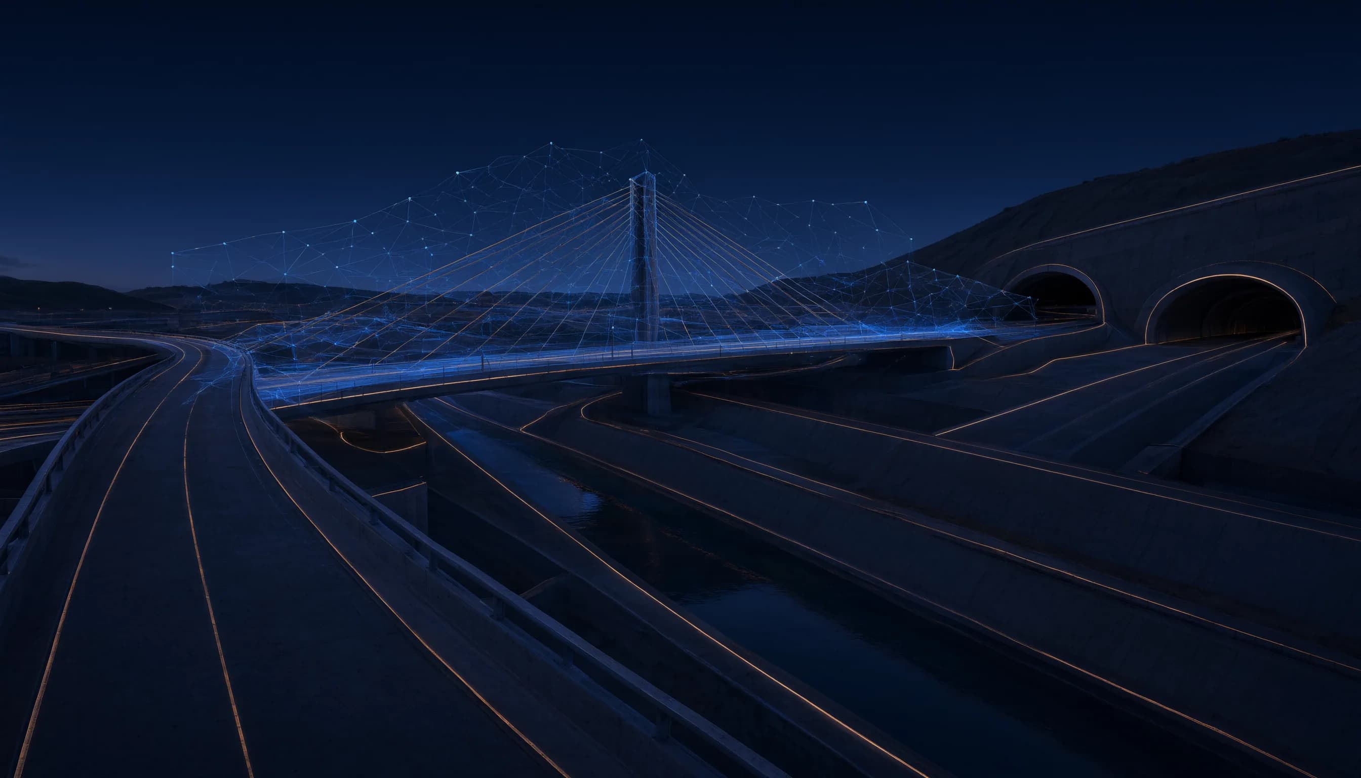
Perceive and understand the physical world.
Understand infrastructure as it changes.
Quannie Infra turns imagery, sensors and geospatial data into actionable understanding of physical infrastructure.
- Sense→
- Detect→
- Understand→
- Assess→
- Decide→
- Act→
- Verify
Infra in depth
See the world as it changes.
AI-powered perception and infrastructure intelligence for understanding physical environments at scale.
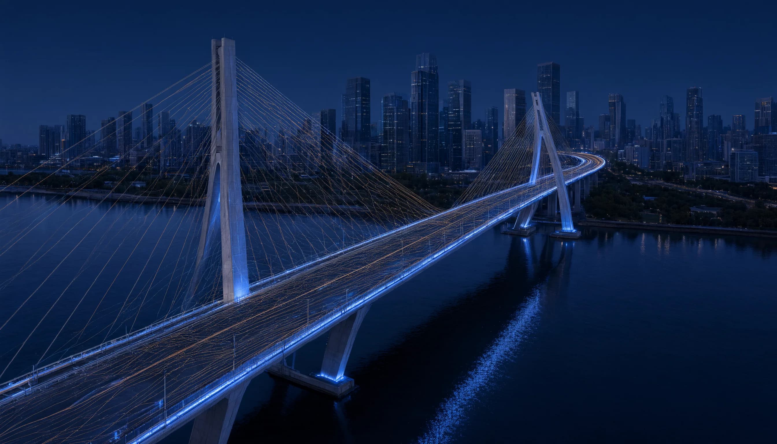
Capabilities
- Roads
- Bridges
- Tunnels
- Drainage
- Underground utilities
- Municipal assets
- Industrial facilities
- Ports and airports
- Energy infrastructure
- Environmental monitoring
- 01
Physical perception
Imagery, video, lidar and sensor streams are fused into a consistent picture of an environment, from a single corridor to a whole network of assets.
- 02
Infrastructure understanding
Perception becomes structure: assets, geometry, materials and condition are identified and organized as a living model of the environment.
- 03
Change detection
Repeated observation over time reveals what is different, what is degrading and what is new, so attention goes where change is happening.
- 04
Risk assessment
Detected conditions are assessed against engineering context and history to prioritize what matters, with the reasoning kept visible to operators.
- 05
Operations
Findings flow into inspection, maintenance and planning workflows, and outcomes are verified against the next observation.
- 06
Deployment and edge
Runs in the cloud, in private environments or on edge devices close to the field, with integrations into existing asset systems.
Deployment
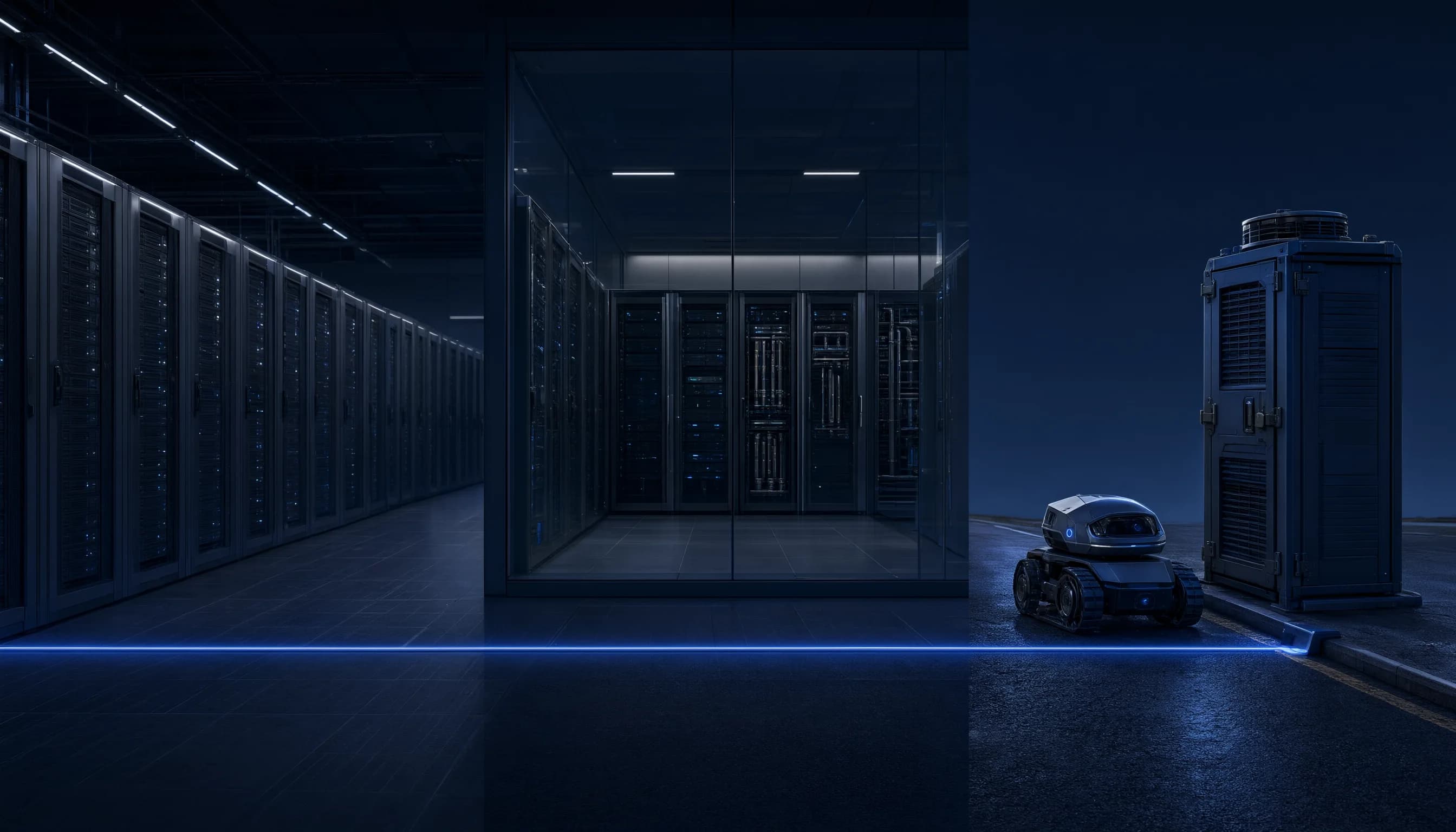
Built beyond the demo.
Quannie systems are designed to move from models into real environments, across cloud software, private infrastructure, edge systems and physical machines.
- Cloud
- Web
- Desktop
- Enterprise Cloud
- Private Cloud
- Customer VPC
- On-Premise
- Air-Gapped
- Edge
- Physical Machines
Deployment targets the platform is designed for. Availability varies by product.